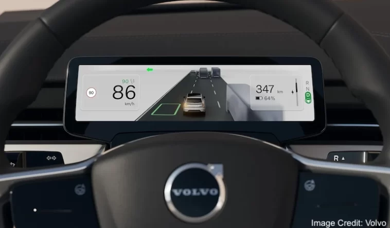
Google has announced an HD version of its vehicle mapping solution. Google’s HD map is not a consumer-facing application, but rather an additional layer of data served to the vehicle’s L2+ or L3 assisted-driving systems via Google Automotive Services. Theverge.com also confirmed as well.
The additional data is layered on top of Google Maps data and provides details such as precise lane markers and object localization (road signs) to assist self-driving vehicles in orienting themselves on the road. The driver will not be able to directly see or access the HD map or data. It’s unclear whether the driver will even notice if the vehicle is using HD mapping, but presumably the vehicle’s assisted-driving abilities will improve when it’s in use.
According to a Google spokesperson, the HD mapping will initially focus on high-traffic roads such as motorways, though the spokesperson did not specify which cities or motorways. They stated that Google is collaborating with automakers to determine where the HD map will be most useful.
Read More at Car & Driver
Google’s HD map is now available to car manufacturers who use Google Automotive Services. Volvo and Polestar have announced that the HD map will be available in the Volvo EX90 and Polestar 3 very soon.


